View interactive topographic maps with GPS coordinates at the Maptech MapServer website:
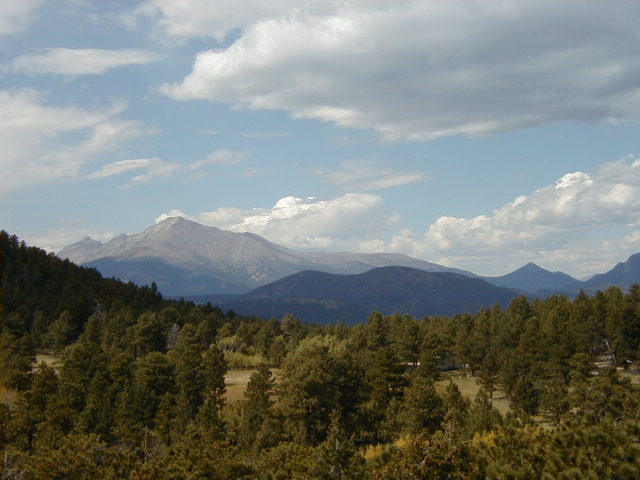
Photo by Balarat Outdoor Education Center
Longs Peak, Pagoda Mountain, and Chief's Head Peak viewed from Buck Point *** N 40 deg 8.536 min, W 105 deg 22.988 min *** at the Denver Public Schools Balarat Outdoor Education Center northwest of Boulder. Balarat is private property. Similar views may be had from adjacent public lands in the Roosevelt National Forest.
Find current magnetic declination for your location at the National Geophysical Data Center website. Magnetic declination changes with time. Old topographic maps may be out of date by several degrees.